A wise old walking instructor once told me that the eyes are the best navigational aids you will ever have: and I was reminded of that when I read the BBC article lamenting the decline of map reading skills. After all, why should the younger generation, or indeed any generation today, need to be able to read a map when every self-respecting teen-down-to-toddler has instant access to a range of gizmos which can tell them instantly and in real time exactly where they are. And even better, they work to the accuracy of an 8-figure grid reference (i.e. to within 10meters) which is far more accurate than most walkers will achieve using a compass and a paper map on a blustery day in the hills! And of course in an emergency, technology might provide us with the vital communications and the accuracy of information which could save lives. So what is the problem?
What the BBC article does not address is the much broader impact of technology on human nature and to me that is the really important point. Because technology is so good and has become so invasive (why are kids fascinated by what their friends are doing right now … and now … and now …??) it removes the need to do anything other than push a button and so they/we naturally become lazy. If technology can do it for us why should we bother to learn to do it the old way? I suppose a philosopher might argue that the biggest exploiters of technology are also its greatest victims. A truly symbiotic relationship – get that!! Until that issue is addressed map reading will never make the top ten on the school curriculum.
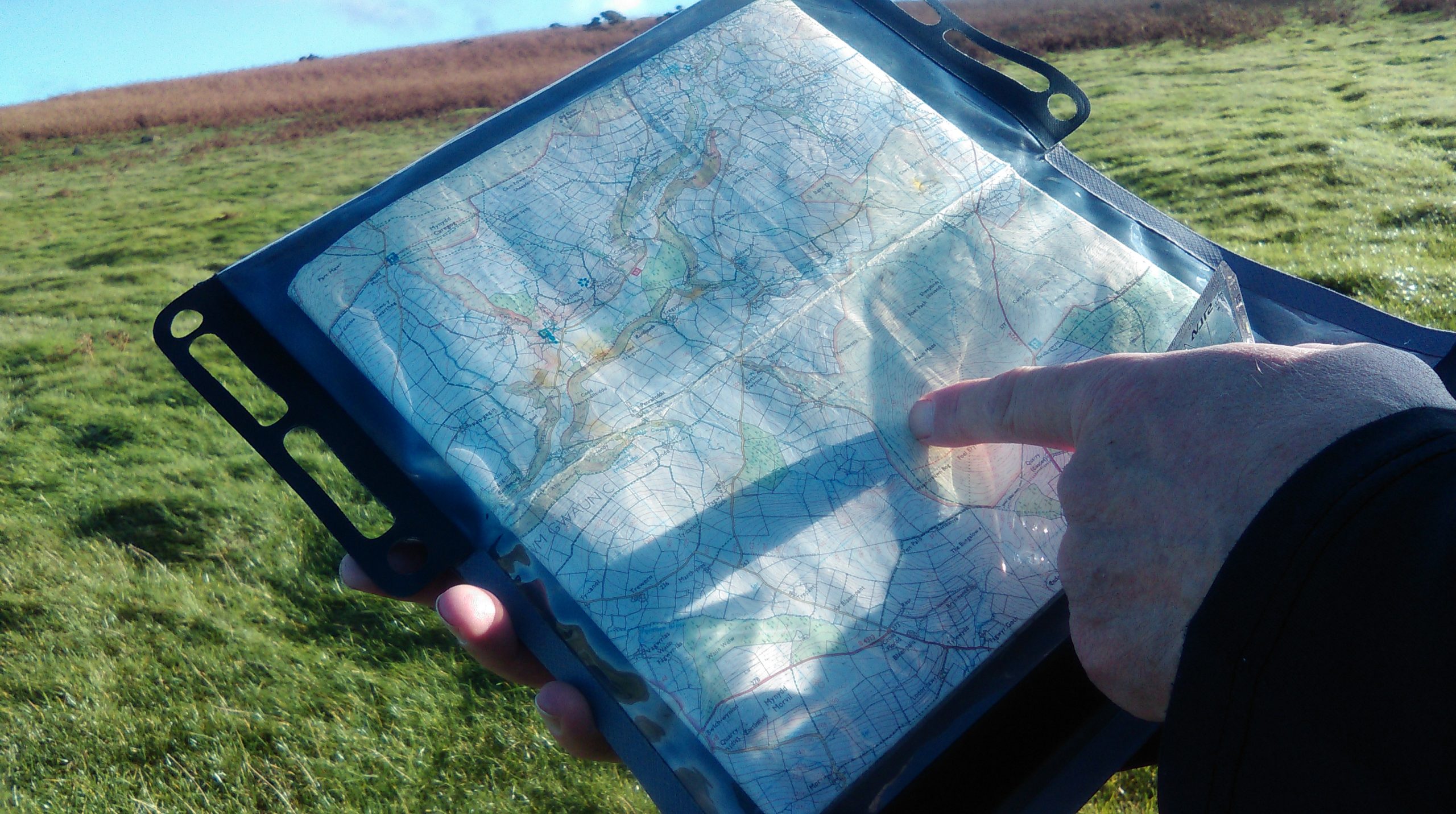
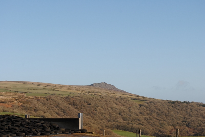
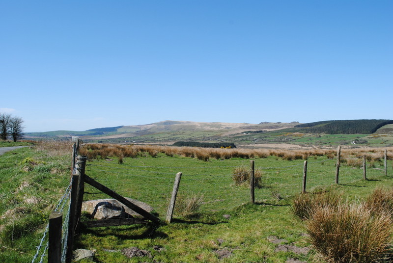
But this is a walking blog so let’s come a bit closer to home. The main point, for me, is that gizmos are leading to a decline in the need to observe anything other than the screen. They encourage us to look down when the walker needs to look up and around: to observe. If technology can do it for you, why develop our own sense of direction? Why take notice of what we can see around us and why be interested in what we recently went past or what is coming up? Have a look at the photos below. Observe fence lines, hills, forests, flat land, rocky outcrops, buildings. They will all be on the map and they are all the clues you need to know exactly where you are.
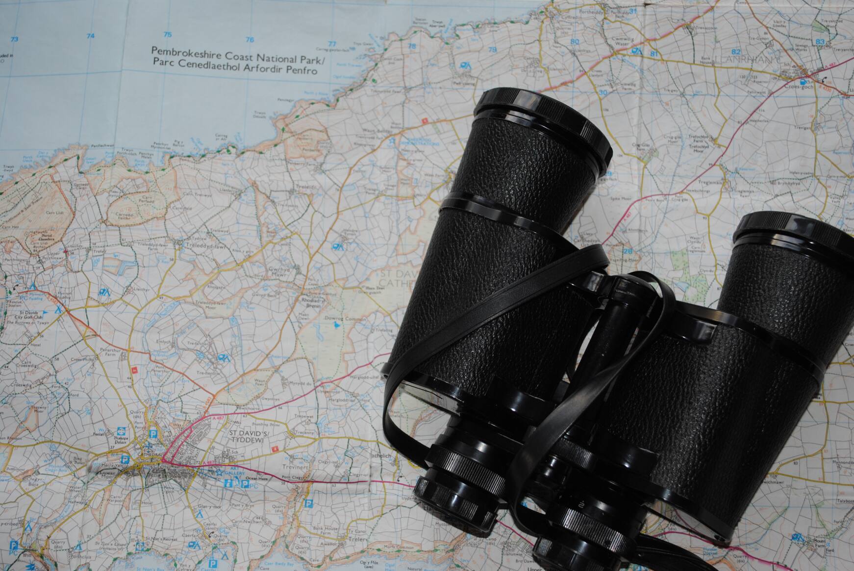
Why not just relax and let the GPS Smart Phone with mapping tell us where we are now and steer us to where we want to be? Good point … and then the battery runs out and you have no spares, or you lose coverage in thick woodlands or a deep valley. Or you drop your GPS into a puddle or leave it on a rock etc etc. You might like to read the tale I tell on my website about a couple of walkers who got themselves in a right pickle in the hills when their GPS failed – yes it was Carol and me (many years ago I hasten to add!). The majority of walkers probably carry a gizmo of some sort in their rucksack – indeed you SHOULD carry a phone for emergencies! I carry a mobile and a GPS. But these should be used as backups for emergencies and NOT as a primary source of navigation (i.e. a replacement for map reading). But, the map and importantly your ability to read it will always be king because it provides you with the essential ability to interpret and make sense of what you see around you. It is your navigational reference which will enable you to have a great and safe day in the hills and get you out of trouble if necessary. It’s full of answers and information and a map can never run flat!
And now here is the real walker’s pearl of wisdom. Without developing a ‘curiosity about our surroundings’ and basic observational skills – the campaign for promotion of map-reading skills is snookered. For teachers of the young this is their challenge but, for want-to-be walkers, I hope it is already alive and kicking. Walking Skills No 4 – observe, observe, observe. When you are walking along look around you and make a mental note of what is happening. Are you going up a slope or down; is the river getting closer or further away; the mountain to the left has a wood on it; I can see a trig point on top of that rise etc etc etc. When you are naturally observing then you are well on your way to cracking map reading. In posh lingo we call it ‘relating ground- to- map’. You don’t have to be in the hills to practise your observational skills. Try it when you are sitting on a bus or walking around the shops! Once you are a natural observer, you only have to learn the symbols on the map and the rest is simply matching the two together. I get a huge buzz out of matching them up – ask Carol! Have a look at the Ordnance Survey website – it gives you a great insight into different sorts of maps and what some of the symbols mean. I’ll blog about all that several times more.
Getting back to the BBC article, next time you are on a car journey have a look at the victims of technology sitting in the back seats – hoodies on and screens 10 inches from their faces. The BBC offers several good reasons why our offspring should learn to read maps (although I cannot see the argument about them being a thing of beauty washing with my kids!) but without giving our youngsters a genuine reason to do so and developing in them the vital interest in observing what is going on around them, map reading will always be just some other ‘pointless’, abstract and redundant exercise the teacher wants to heap on our kids – and they don’t have time for that because what little Jonnie had for breakfast has just gone viral – and that is much more important!
I will get to artificial insemination of cows soon – honest.