The Pembrokeshire Coastal path is exceptionally beautiful but it has some cruel tricks up its sleeve for the unsuspecting walker: you cannot avoid these tricks but you can better prepare for them. Below I have highlighted some of the ‘stings’.
Over a million visitors flock to Pembrokeshire each year: most visit the south of the county and enjoy the traditional coastal holiday offered by Tenby and the supporting variety of family fun locations: great, no problem with that at all. But for many others, particularly those choosing to holiday out of the traditional Easter and summer holiday season, the lure of the more remote North of Pembrokeshire and its abundant walking opportunities beckons them.
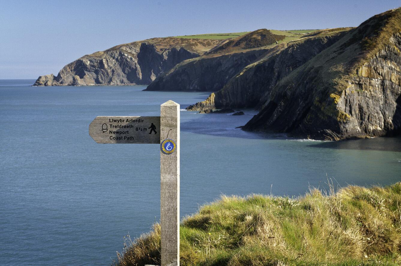
In the north of the county the walking opportunities can be divided into two broad categories: the coastal path and the inland trails and the latter themselves are best represented in the Preseli Hills. Since discovering Pembrokeshire ourselves, Carol and I have walked extensively in the Preseli’s, indeed that is where I take most of those who avail themselves of the Walking Skills services that we offer here at Discover Walking Pembrokeshire. But we have also now covered the vast majority of the North Pembrokeshire sections of the coastal path and we are steadily working our way into Southern Pembrokeshire with a view to finishing the whole 187 miles sometime ‘soonish’!
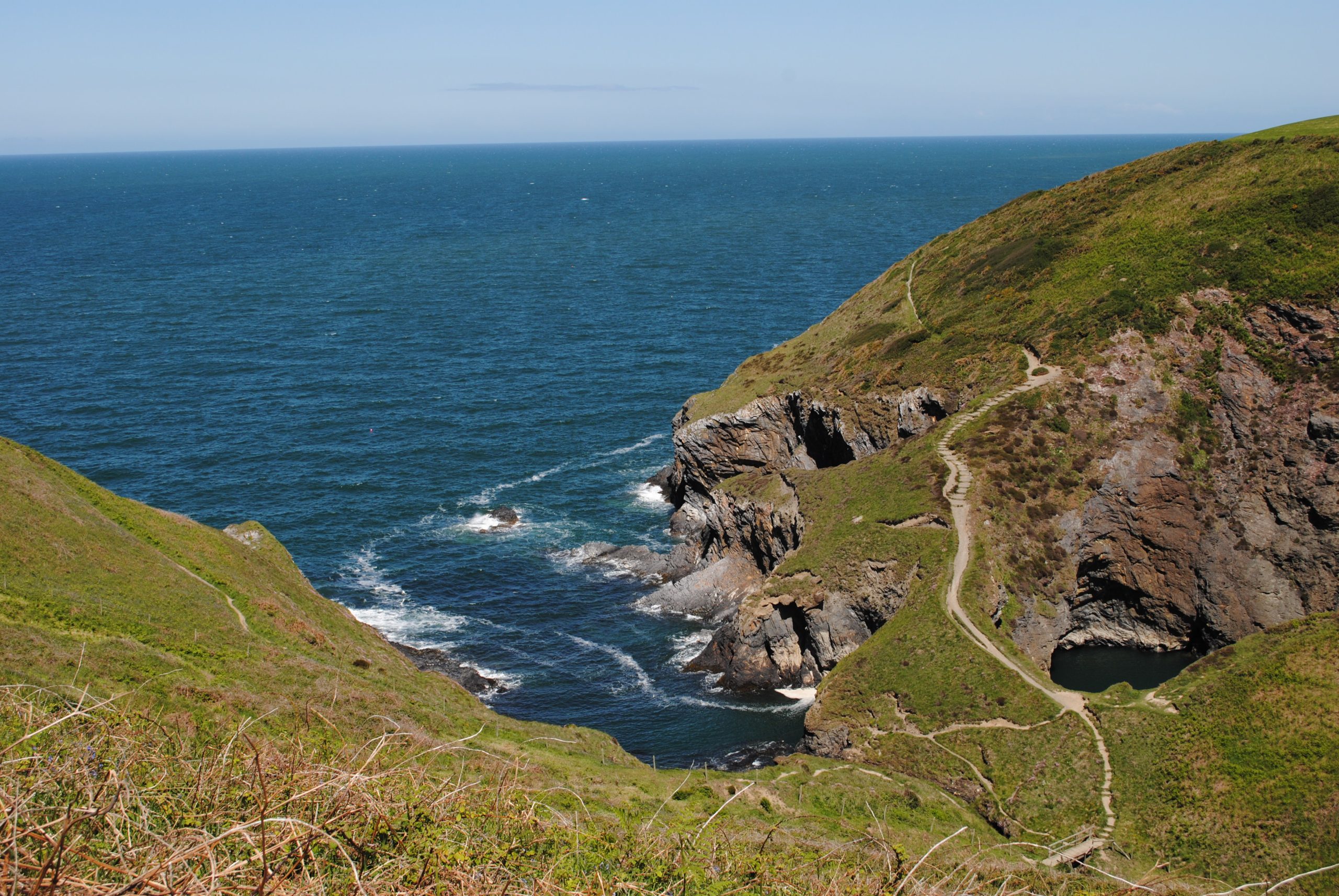
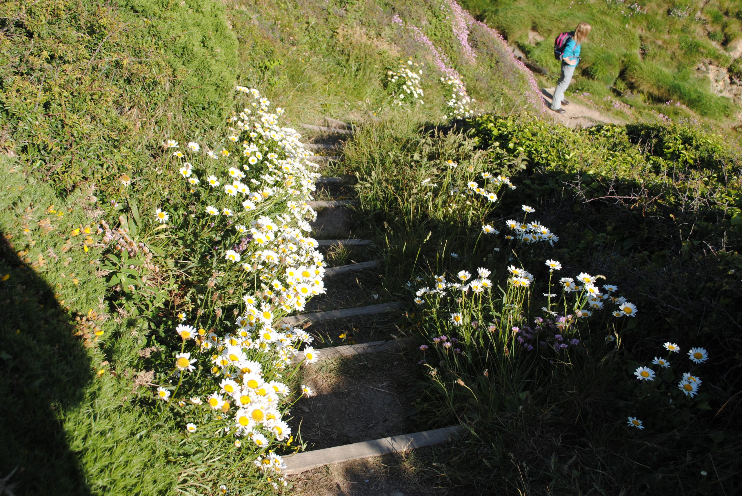
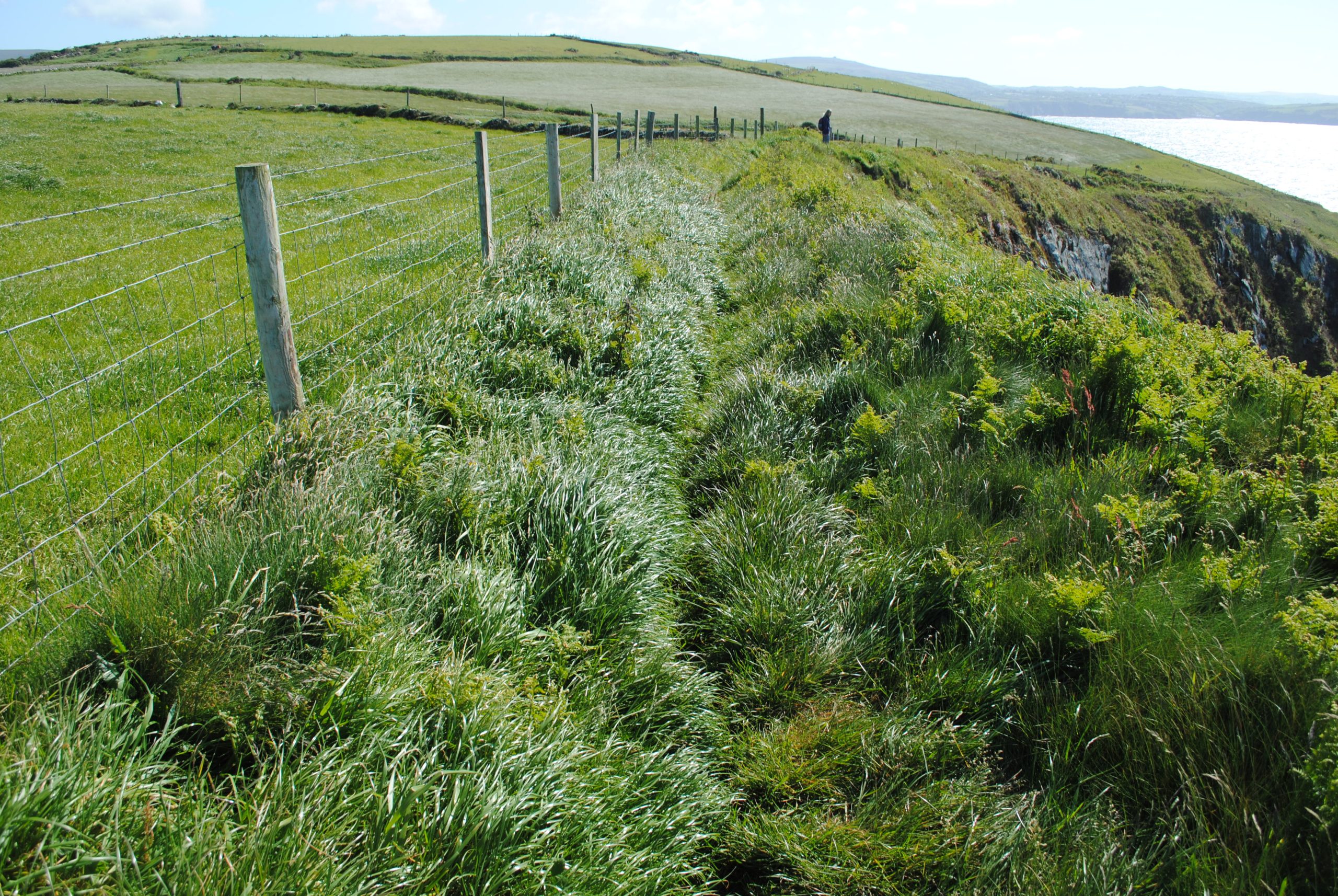
To keep a balanced perspective I should say from the outset that 99% of the coastal path is well marked and in great condition. The well maintained stretch below is typical of what you should expect:
But the other 1% can be far less easy or obvious! And you need to be aware of some extra planning challenges when thinking about your walks. By thinking about the following you will be better prepared for enjoying your walking on the coastal path.
I won’t insult your intelligence by telling you that the coastal path has lots of cliffs along it and so you should at all costs avoid falling off any of them! I’ll assume you know that.
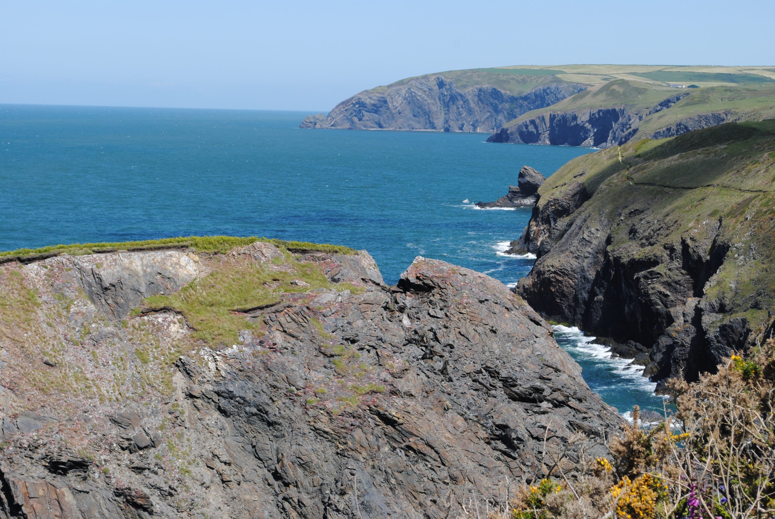
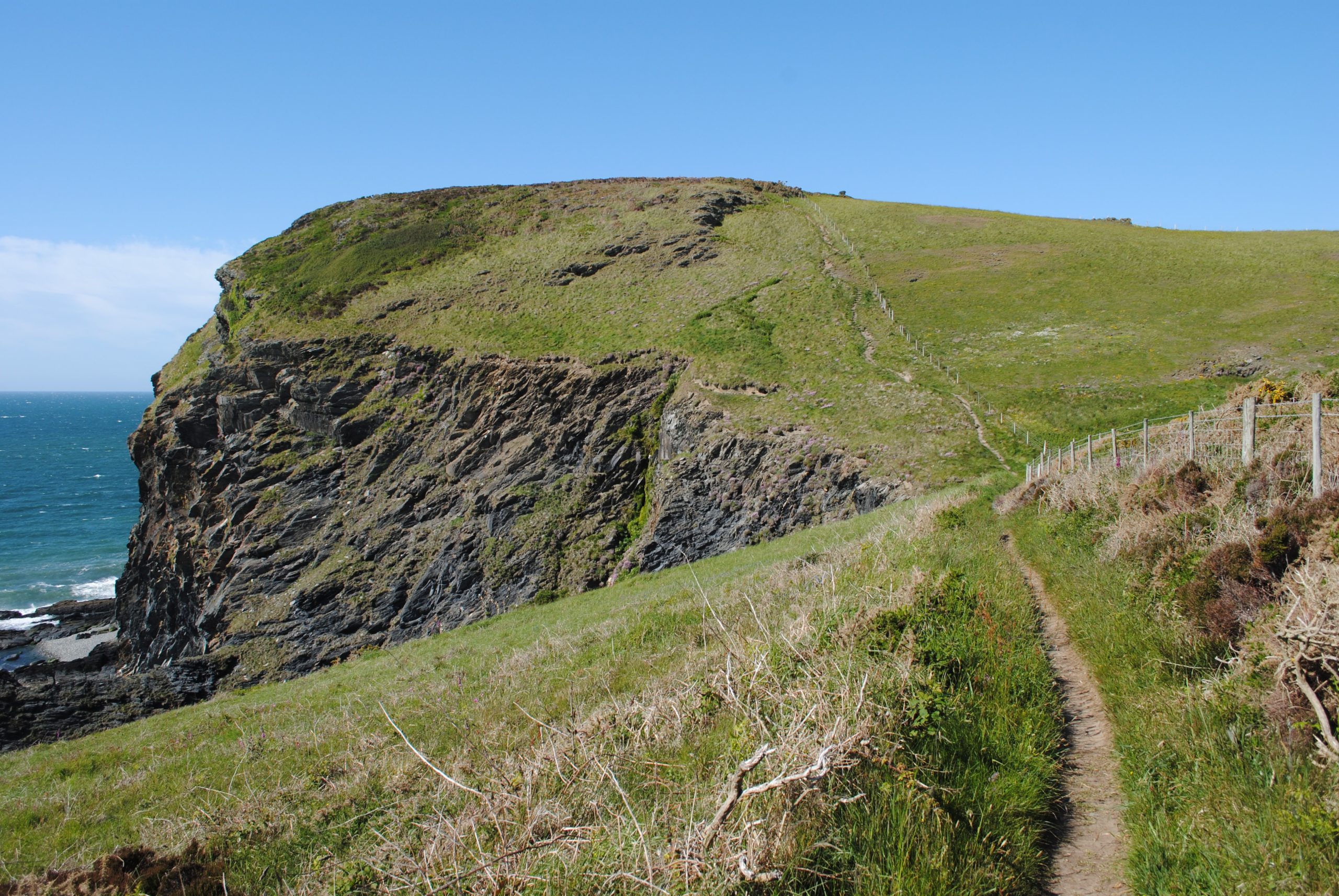
Judging Distance The innumerable bays and headlands (as a general rule the bays are made from softer sedimentary rock so they have eroded faster than the headlands which are made of harder igneous rock) can add hugely to the distances you need to travel compared to walking in a relatively straight line. Look at the number of smaller bays that need to be negotiated along this single stretch of coastline.
You need to allow for this additional distance when planning. Even when using one of the excellent mapping software tools available today, which allow you to plot copious numbers of way-points, the actual distance travelled is deceiving. No matter how much effort you put into the planning, the elevations and descents may not be very clear especially if you are studying the OS map in the bar the night before! I usually add an extra couple of hours for a day’s coastal walk which accounts for not only the difficulty of accurately calculating distance but it also allows extra breaks to recover from the ups and downs (see below). And if you do end up completing the walk slightly earlier than planned, it is much better than finishing late especially as most well planned walks end somewhere near a refreshment point!
The Terrain As well as the ‘ins’ and ‘outs’ there are the ‘ups ‘ and ‘downs’! The descent into a small gorge means usually means an ascent out of it on the other side.
The bad news is that these sections can sap morale as well as energy if they were not expected no matter how fit you are and they can play havoc with your timing calculations. But there is also good news: if you complete the whole 187 miles of coastal path you can boast that your total upward walking exceeds the elevation needed to climb Mount Everest! And the other good news is that you can, to a large degree, legislate for elevation if you plan your walk using a software mapping tool which sums total elevation along your route and with this you can apply Naismith’s rule when calculating the duration for the walk. So think very carefully about how far you plan to walk each day. As a very wise instructor once told me: the hills (and in this case the coastal path) will still be there tomorrow for you to enjoy!
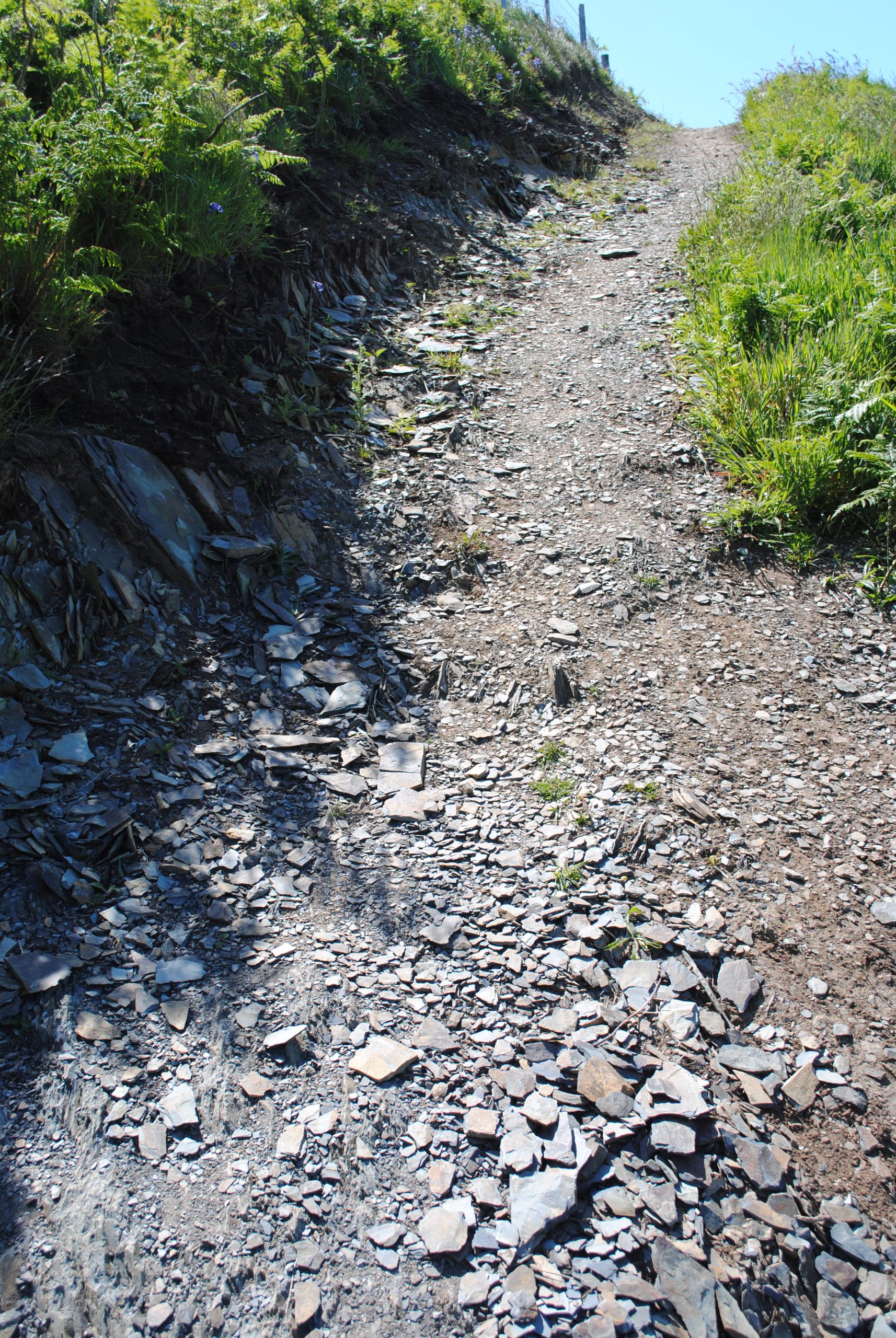
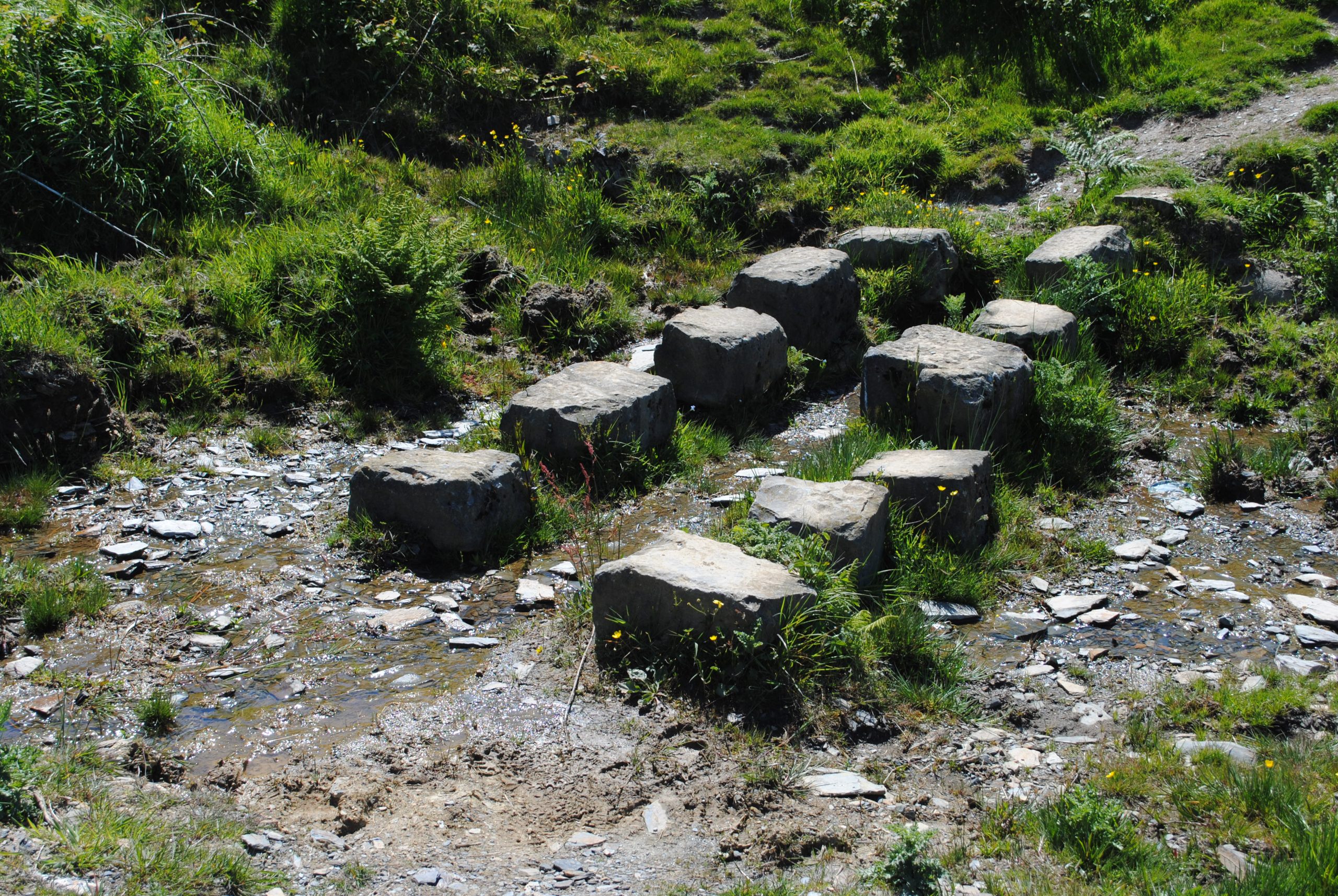
Uneven Steps – Now this is the coastal path, not the stairs in a swanky hotel! Some of the elevations have purpose built steps but these can be uneven and there can be a significant variation in height between steps.
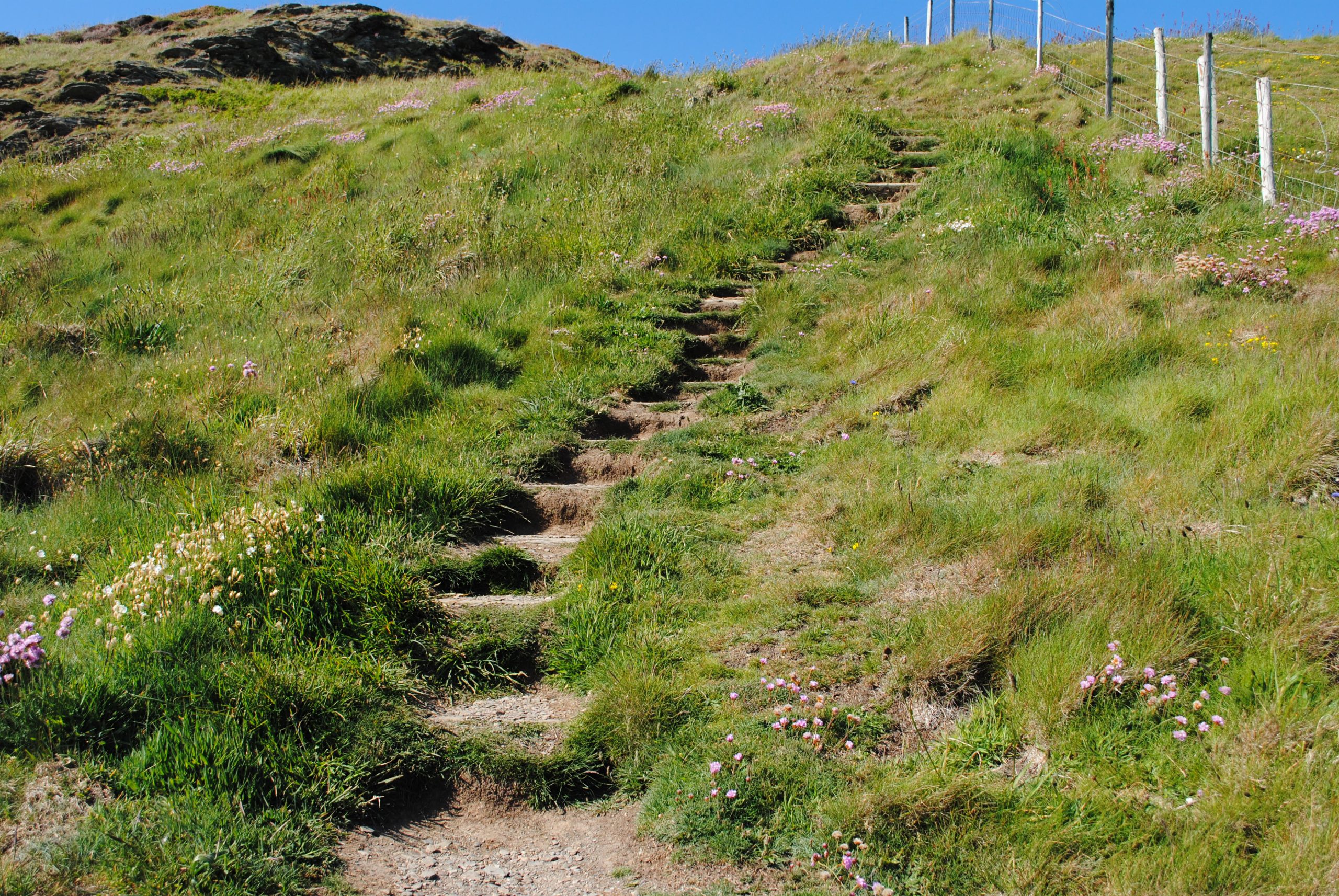
Any steps can sap energy and strain knees and tendons so go easy. Other elevations do not have purpose built steps but gradual erosion of the ground by previous walkers may have created an obvious set of places to set your foot: again these can vary in height and distance and some can have become unstable with loose material scattered across them (see below left): so go carefully and watch where you place your feet. And any steps on solid rock will probably be ‘polished’ and therefore potentially slippery. I would expect the steps below (right) might be really tricky when the stream flows again and they are wet!
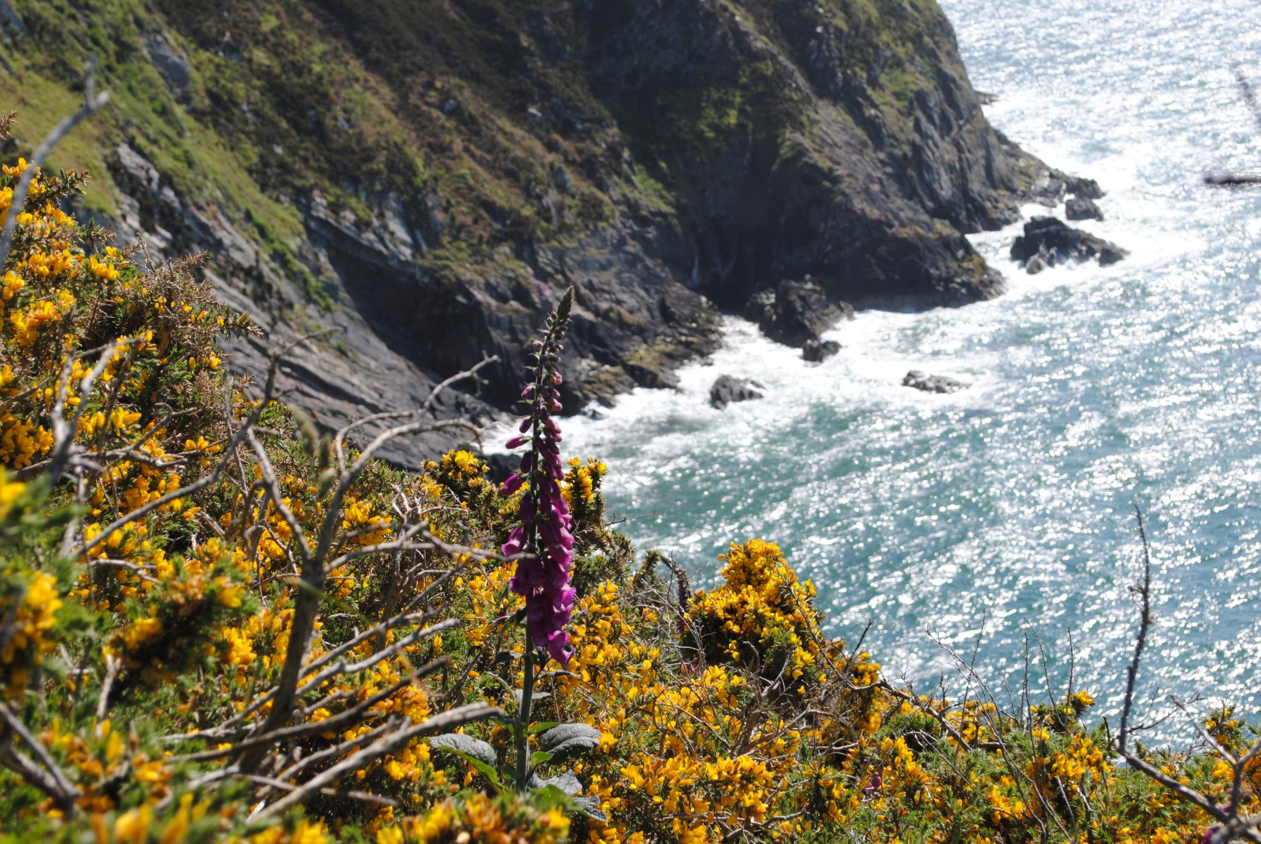
Undergrowth and Overgrown Sections Some sections of the path are really popular – I always see somebody around Strumble Head, sitting on the point on Dinas Head and working themselves up to food and beer somewhere around Porthgain. But Carol and I barely saw another sole when we walked from Traeth Bach to Newport Sands except when we got to the Sands themselves of course! Now that is not a complaint: my point is that on some of the more remote sections the path might not be as clear as it is on other, more popular, stretches. We brushed past brambles and nettles, including on one occasion those horrible stinging types, (why on earth do they exist?) and fortunately, despite the great weather we both had long trousers on. Walking Tip No: 12 No matter where you walking, if you choose to wear shorts, carry long trousers with you just in case you come across overgrown sections or bracken, the temperature falls, or the wind picks up! The lack of an obvious path can also dint your confidence especially if you have been ambling along and not really ticking off features to monitor your progress: and we have all done that!
Obstructions Now this is uncommon but it can happen. The path can on the rare occasion be partially blocked either by animal activity – below is a badger set! – or by erosion.
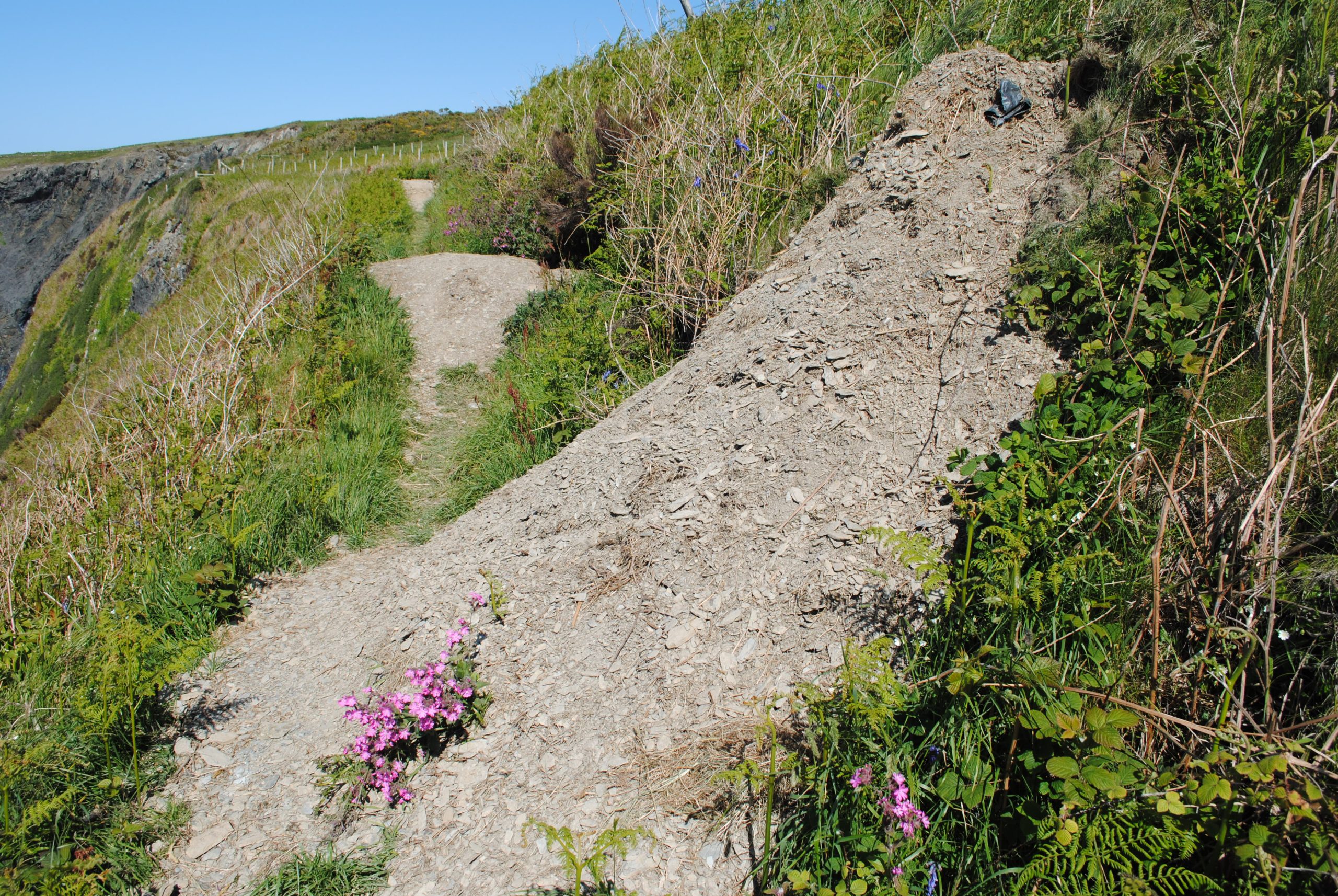
Either way, making progress can be slowed and although the badger set was more interesting than worrying, a small cliff fall caused by erosion might present an altogether more difficult and probably more unnerving scenario. Do the right thing and report any such incidents to the Pembrokeshire Coast National Park or to the local Tourist Information Office. Do not assume that someone else has already done so!!
Weather Obviously the path is exposed – that is a huge part of its beauty – but with that exposure comes the need to carefully consider the wind speed and direction relative to your general direction of travel – and remember irrespective of your base-course, during any coastal walk you will probably on occasion be walking North, South, East and West as you wind round bays and points! Think about possibly reversing your start and finish points, if you believe that you will be walking into wind most of the day and particularly if there is a chance of rain at some stage. Separately, but particularly in combination, it is better to have these elements at you back rather than in your face.
Now to be balanced I have to really emphasise that 99% of the coastal path is an absolute delight to experience and presents no concerns for anyone who uses their common sense. And I would also like to add here that the Pembrokeshire Coast National Park Authority continue to maintain the path in absolutely excellent condition, in order for us to continue to enjoy its charm and rugged beauty as well as the wildlife which abounds along its length, throughout the four seasons. So do not be put off: simply be prepared and that way you will be guaranteed to have an absolutely fantastic experience. Enjoy.